Florida’s ideal outdoor recreation system will be a diverse, connected, accessible and balanced system of resources, facilities and programs that provides the state’s residents and visitors with a wide range of local recreation opportunities. Statewide Comprehensive Outdoor Recreation Plan |
The Board’s commendable decision to do this study plays into a stunning new opportunity for residents and visitors. We must seize it now, because East County is about to change dramatically.
In a few years, a highway flyover will connect UTC/Benderson west of I-75 with roads and trails to the East and South.
 |
| Planned Benderson/Waterside Flyover |
From Benderson, Lakewood Ranch Boulevard will run east through SMR's Waterside, continuing south through the Quad parcels to the Celery Fields. This will form a "triptych" of three key areas, all linked without need of the highway.
 Safe circulation through this large interconnected area will open new possibilities for bicyclists, pedestrians and runners. Marathons, triathlons, and cycling events can begin at Nathan Benderson Park, “fly over” the highway, and circulate on public trails through Waterside to Mt. Celery. Such iconic visibility will bring new visitors to the entire area.
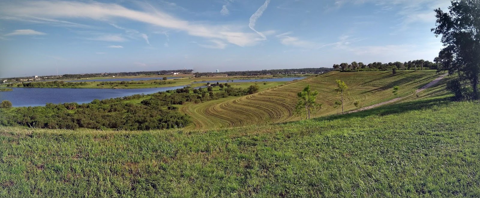
At UTC/Benderson visitors will enjoy restaurants, shopping, the rowing park and eventually Mote Aquarium; in Waterside they’ll explore trails before reaching the tranquil environment of the Celery Fields for hiking, birding, kayaking and picnicking (as well as the lions, tigers of Big Cat Habitat) in one of the most beautiful spots in Sarasota.
Everyone going to Audubon or Big Cat at the Celery Fields has to pass through the Quads parcels on the way. These lands sit at a key intersection, where they can strategically serve to:
- Buffer the Celery Fields with gardens and an urban forest on Parcel #1;
- Provide parking, food, a bus loop and visitors center on parcels #2 and #3 to meet future needs; and,
- Optimize the experience for residents, businesses, schools, and visitors. Tree canopied sidewalks and trails will integrate stranded assets like the Celery Fields' north waterway and Ackerman Park with Audubon's birdwalks and Big Cat Habitat.
A modest investment of tourist tax dollars will optimize the Quads and the Celery Fields area to safely handle future visitors. So much is here to offer. Let’s create a superb inland environment -- an ecological and recreational Triptych we can all be proud of.
Note: The above is a summary. Read the full proposition at this link: "Diverse, connected, accessible and balanced:" a Community Proposition for the Quad Parcels
- Submitted to the Critical Area Plan Workshop May 14, 2019
-- Tom Matrullo
